Malaga House
Canonical data lives in the repository. This site is a generated view of it — every number below carries where it came from.
Current projects
- Raised Deck
Design, construction stages and technical checks for the raised deck.
- Workshop
Garage layout, mobile bench assembly, equipment and purchase checklist.
The plot from the air, 1956 to now
IGN national orthophotography, 100 mm per pixel. Georeferenced in EPSG:25830 — the same coordinate system as this model's origin — so these are positioned by arithmetic, not by eye. Rectified to the ground: tall things lean away from the camera, so no roof edge or wall face may be measured off them.
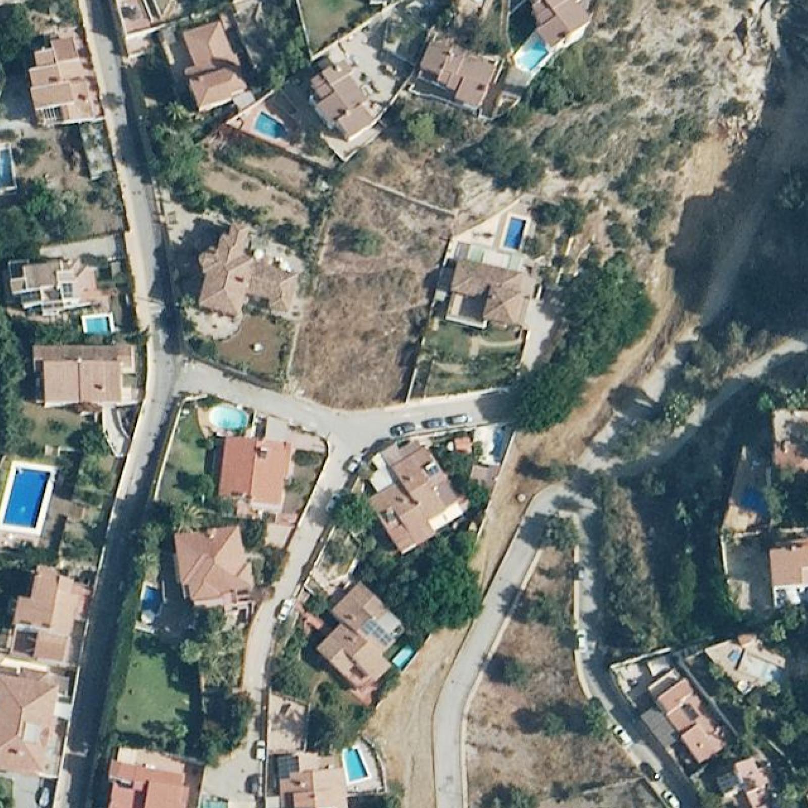
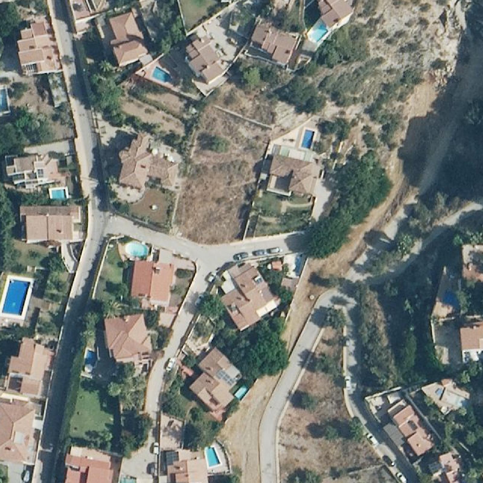
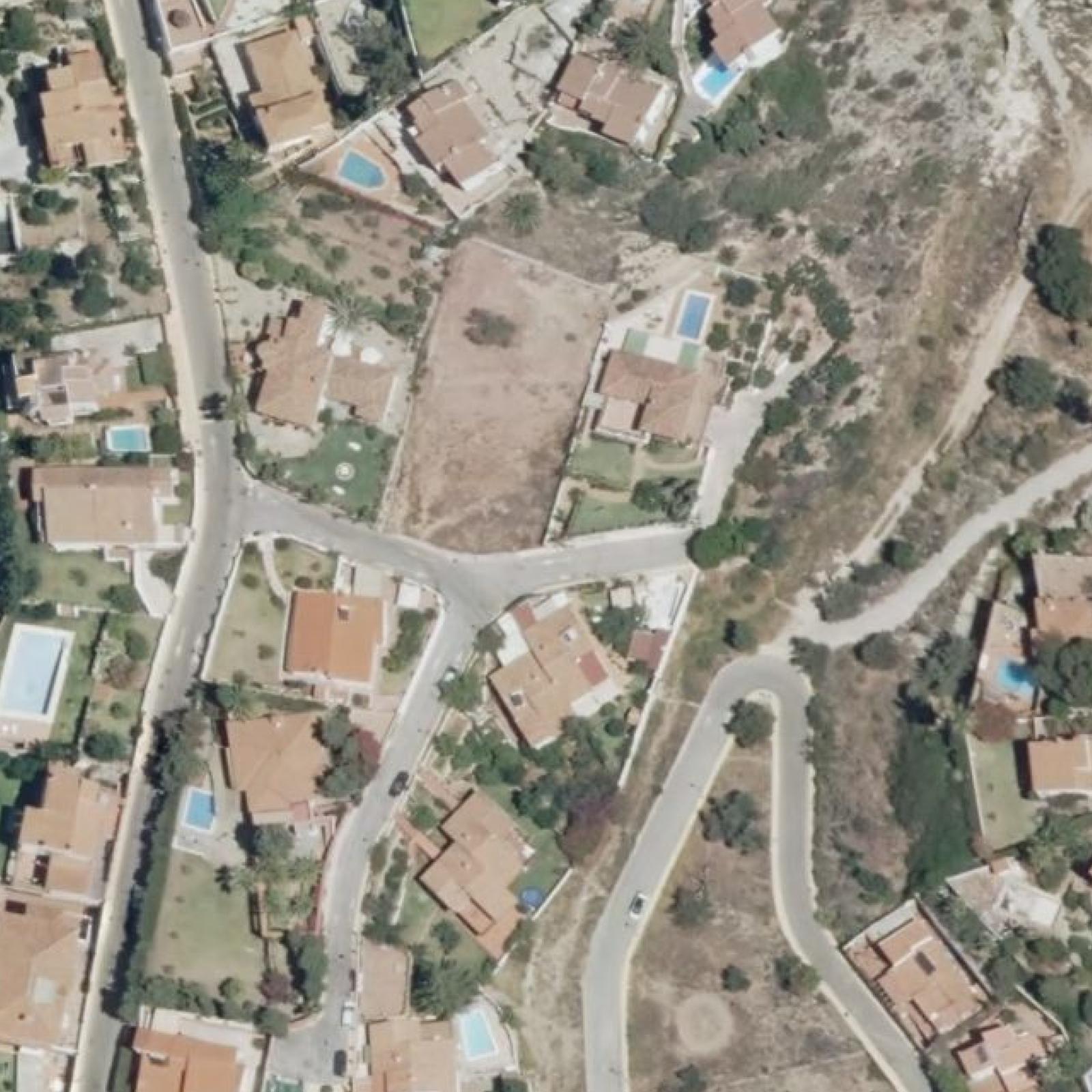
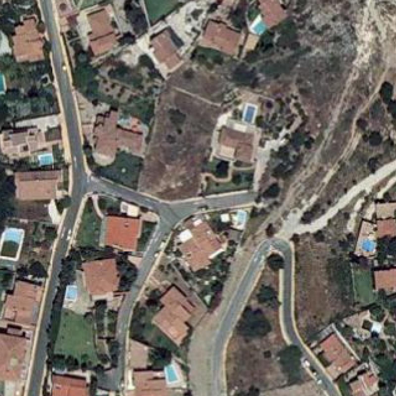
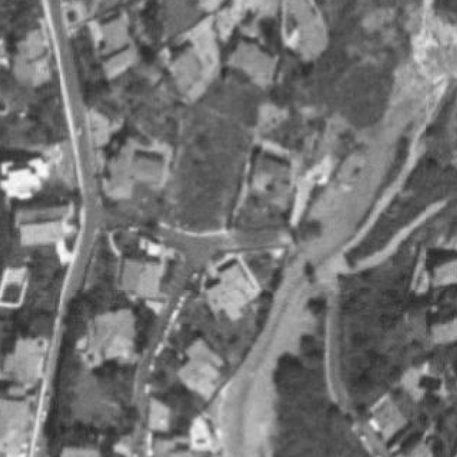
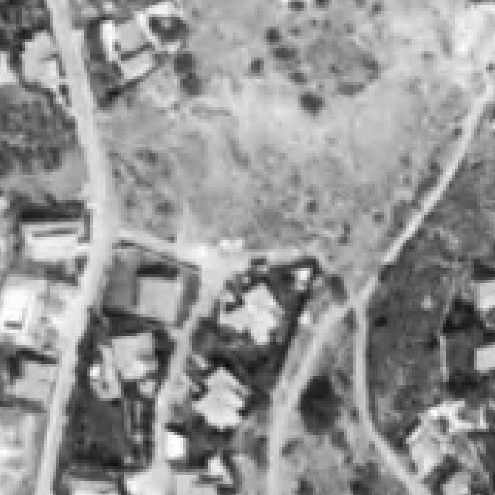
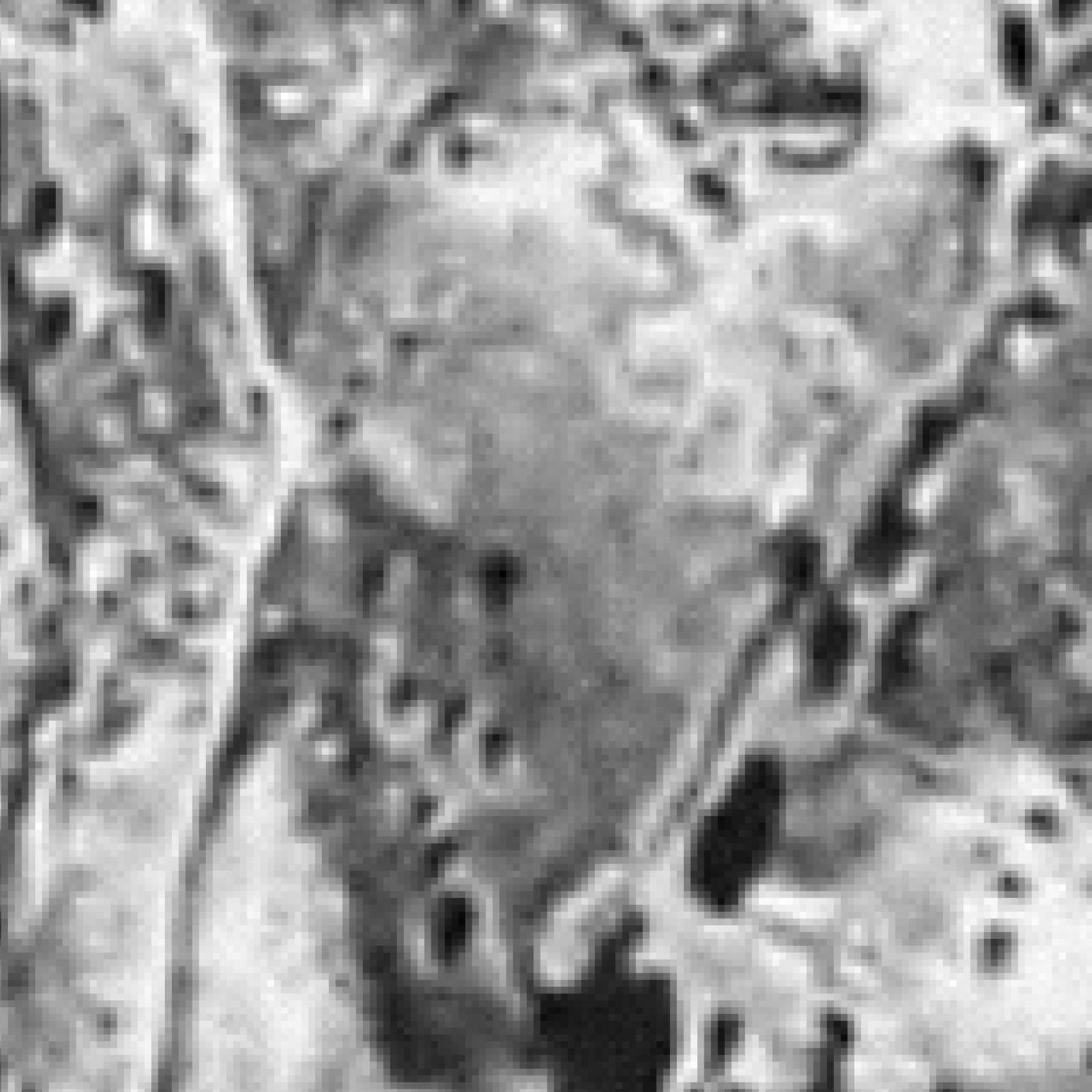
CC BY 4.0. Attribution required: © Instituto Geográfico Nacional (scne.es). The service states Fees: "No se aplican condiciones". Catalogued as ev-067; rebuild with npx tsx tools/ortho.ts --write.
Property
| Address | withheld |
| Municipality | withheld |
| Cadastral reference | withheld |
| Plot area | 860 m²from document · high |
| Coordinate origin | Cadastral parcel corner, ETRS89 / UTM 30N chosen |
| Plot boundary | 20 surveyed vertices document |
| Mains pressure | unknownunknown |
Published
Public evidence summaries are limited to these subsystems:
gardenplantingirrigationgrassdeck.
Other archive subsystems: securitynetworkelectricalfabricinterior.